The Bible Happened in Real Places: Why Geography Changes the Way Kids Read Scripture
Written by Ryan Smith, Founder of Stone & Scribe
There is something strange that can happen when children read the Bible.
Jerusalem becomes a word. Bethlehem becomes a word. The Jordan becomes a word. The wilderness becomes a word.
Children may know that David fought Goliath in a valley, Jesus travelled through Galilee, and Israel crossed the Jordan, but those places can still remain almost completely abstract.
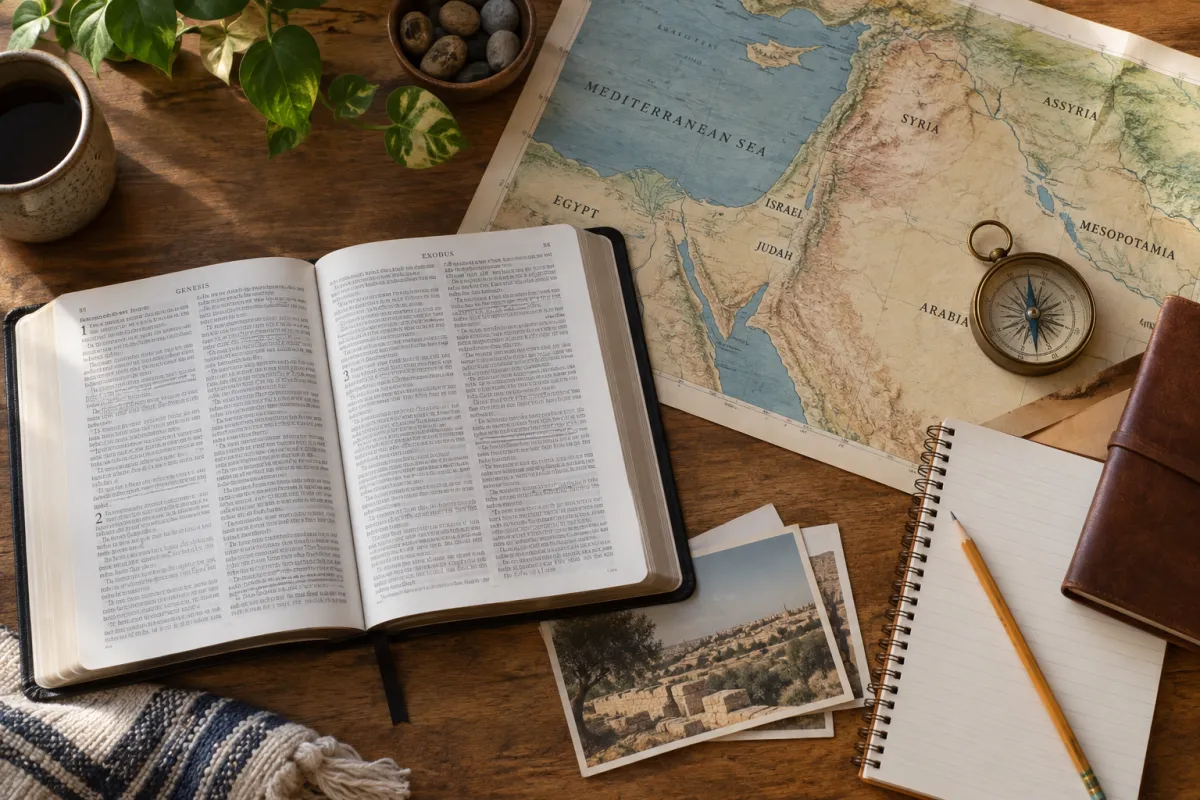
Then you show them a map.
Suddenly someone asks, "Wait. That's how far they walked?"
And the story changes.
Geography gives the story dimensions
The Bible happened somewhere.
That sounds obvious, but it is easy to forget when reading a story printed on a flat page. Geography affects where people live, how they travel, where cities develop, where armies can move, and why certain places become strategically important.
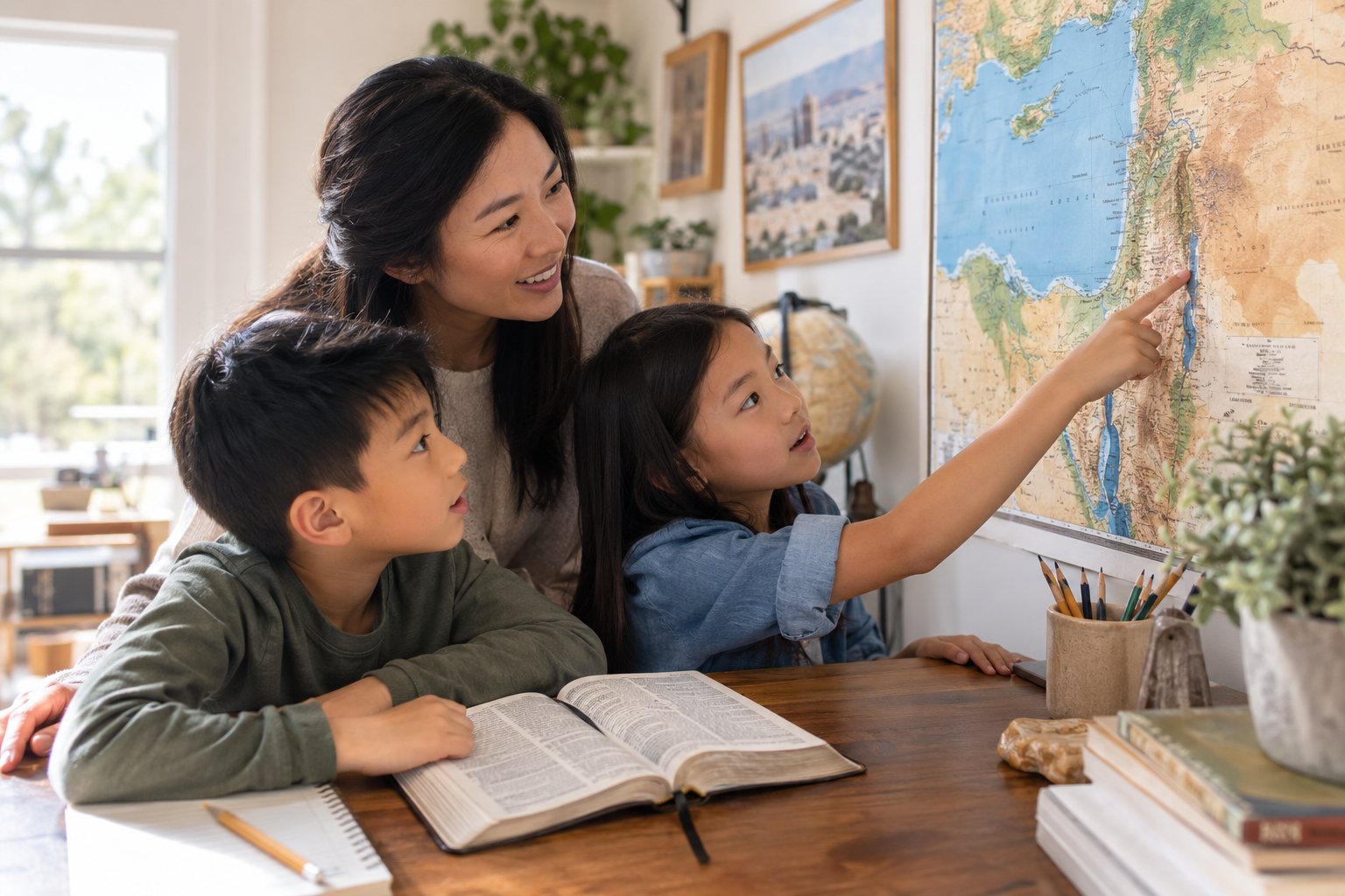
For children, maps can be especially powerful because they turn unfamiliar names into relationships.
This city is north of that one. This journey crosses mountains. This road connects important regions. This valley sits between higher ground. This town was not simply "far away." It was a journey that would have taken time and effort.
Now the story has scale.
Put David and Goliath back in the valley
Most kids can picture David and Goliath.
A boy. A giant. A sling. A stone.
But geography adds another layer.
The traditional setting of the story, the Valley of Elah, lies in the Shephelah, the foothill region between the Judean Highlands and the coastal plain. The area functioned as an important transition zone, and the biblical account places the Israelite and Philistine forces on opposite sides of the valley.
Show a child a photograph or map of the area and the questions start to come naturally.
Where would the armies have stood? What could they see? Where might David have approached from? Why would control of this region matter?
The geography does not replace the story. It helps the child inhabit it.
Distance changes the way journeys feel
Biblical writers often describe travel very efficiently.
Someone leaves one town, and the next verse has them somewhere else.
The reader can easily miss everything that happened between those sentences.
Ancient travel was physical. People walked, animals carried loads, terrain slowed movement, and access to water mattered. A map lets children ask questions that the paragraph itself may not prompt automatically.
How long might this have taken? Was the route uphill? Where would they have stopped? What dangers might travellers face? Why take one route instead of another?
Those questions turn "and then they went to..." into an actual journey.
Terrain can explain why a place mattered
Not every ancient city was important simply because a king lived there. Location mattered.
Ancient Hazor, for example, stood near major routes connecting Egypt, Mesopotamia, and the Phoenician coast. That helps explain why the city became strategically important.
That kind of detail is easy for children to understand.
Ask, "If you controlled the road everyone needed to use, would your city matter?"
Now geography has become politics. Trade. Military strategy. Economics.
The Bible begins connecting naturally with history rather than existing in a separate religious category.
Maps can correct the pictures in our heads
We all carry mental images of Bible stories.
Some come from children's Bibles. Some come from paintings or movies. Others simply come from imagination.
Maps, archaeology, and historical research can challenge those assumptions.
Even something as basic as the biblical word translated "city" can create a modern impression that may not match the scale of ancient settlements.
That is useful for kids to learn.
The goal is not to tell them, "Everything you've pictured is wrong."
It is to teach a better habit:
Let's check.
What does the text say? What does the geography tell us? What do historians know? What are we simply imagining?
Those are useful questions far beyond Bible study.
Don't pretend every biblical location is certain
Maps can also teach intellectual humility.
Some biblical locations are well established. Others are debated. Scholars continue to propose different identifications for ancient sites, and the confidence level varies from place to place.
That is not something we need to hide from children.
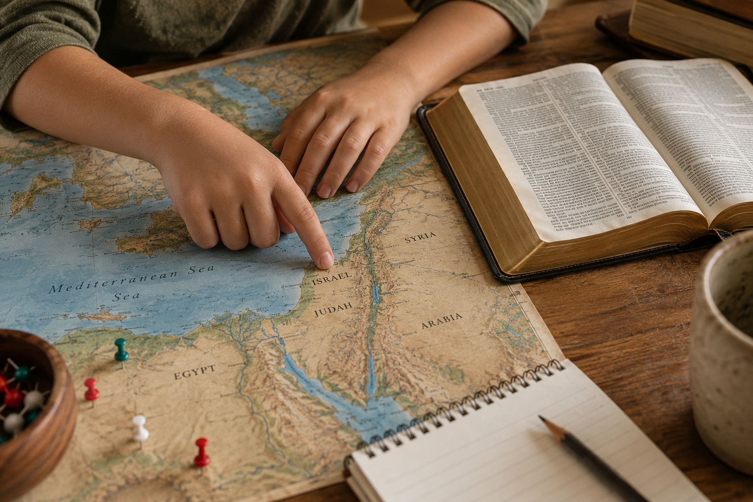
In fact, it can make exploration more interesting.
Try saying, "We know roughly where this happened, but scholars are not completely sure of the exact location," or, "There are two main possibilities. Let's look at why."
Now the child is learning how evidence works.
Maps are not magical answer sheets. They are interpretations built from geography, texts, archaeology, and historical research.
Let kids measure the journey themselves
One of the easiest Bible geography activities requires almost no preparation.
Choose a journey in Scripture. Find the locations on a map. Estimate or look up the distance. Then compare it to somewhere the child already knows.
Ask, "If that journey started at our house, where would we end up?"
Distances suddenly become understandable.
You can also trace routes with string on a printed map, compare elevations, look at satellite imagery, find photographs of the terrain, identify rivers and mountain ranges, compare modern borders with ancient regions, or ask why towns developed where they did.
For homeschool families, this can be especially useful because one Bible story can naturally connect geography, history, math, research, and reading.
Geography helps children see Scripture as connected
Children often encounter Bible stories individually.
Noah. Joseph. Moses. David. Daniel. Jesus. Paul.
Each can become its own episode.
Maps help connect those episodes.
Egypt appears again. Jerusalem matters across centuries. Assyria and Babylon move from strange names to empires located on a map. Paul's journeys overlap with cities and regions mentioned elsewhere in the New Testament.
The child begins seeing a larger world rather than a collection of disconnected stories.
That is a significant shift.
Start small
You do not need an expensive Bible atlas or a full geography curriculum to begin.
The next time a place appears in a passage, stop for a minute and find it.
Ask where it is, what surrounds it, how far it is from the previous location, what kind of land it sits in, and why any of that might matter.
Five minutes with a map can sometimes change the way a child reads the rest of the chapter.
Bethlehem is not just a Bible word anymore. Neither is Jerusalem. Neither is Galilee.
They are places.
And once children begin realizing that Scripture happened among actual landscapes, cities, roads, rivers, and regions, the Bible can begin to feel less like a collection of distant stories and more like a world they can investigate.
Sources
Biblical Archaeology Society, Bible Lands, on the role of physical geography in understanding biblical places and events.
Biblical Archaeology Society, What Is the Shephelah?, including the geography of the Judean foothills and Valley of Elah.
Bible Odyssey, Hazor Map, on Hazor's strategic location along major trade routes.
Biblical Archaeology Society, Biblical Maps, on certainty and uncertainty in locating ancient biblical sites.